Our SoilTemp-network got pretty lucky the week for Christmas: the project we applied for with the Research Foundation Flanders got funded, ensuring that our database iniative can gear up even more!
Although it was a relatively small grant that covers research equipment only, it comes in addition to earlier realized travel money and just at the right time to further consolidate our growing network.
The new funds allows us to expand our research in 3 critical directions. First of all, we’ll reinforce the established logger network we have in the north of Scandinavia. There, in the beautiful Scandes mountain range in Norway and Sweden and the flatlands of northern Finland, a whole range of SoilTemp-collaborators have been maintaining soil temperature loggers for years.

Expanding our SoilTemp logger network in the northern Scandes will help us understand the effect of the complex topography in the region
Thanks to these longterm achievements, the area already forms the biggest stronghold of our network, yet expanding it even more with the newly received loggers will ensure that we can use the northern Scandes to answer the most detailed and high-resolution microclimate questions.
What is more, we can now finally realize a longstanding dream: we can fly a drone over our precious mountains to look at them from above. This will provide crucial high-resolution data on the impact of mountain disturbances – like trails – on the mountain vegetation and its microclimate.
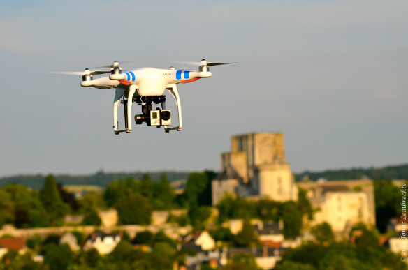
Flying a drone with thermal camera, here at a workshop in France
Finally, and perhaps most importantly, we will make sure SoilTemp will conquer the world even more: we will install microclimate loggers in some of the most remote places of the world to fill the emptiest spots on our worldmap. For those interested in helping us with the latter achievement, keep an eye out for a formal call early in the new year!

SoilTemp wants to get a foothold in more of the most remote places on earth. Here, the Andes in southern Chile


")


")
")


")


")


")


")


")


