Cutting-edge modern technology has brought us so far that scientists can now find ghostly prints from former human activities with breath-taking accuracy. Ghosts from the past, that is, and that modern technology is called LiDAR (light detection and ranging).
LiDAR feels like a magical way of looking at things and revealing hidden artefacts. It is basically a laser scan of an environment with extreme precision (often up to centimetres in accuracy), which allows us to recreate environments such as forests in 3 dimensions. LiDAR scans can be made from the ground or from the air, and in its simplest form consists of sending out a laser beam, The Light Fantastic, and capturing it again when it bounced back from an object.

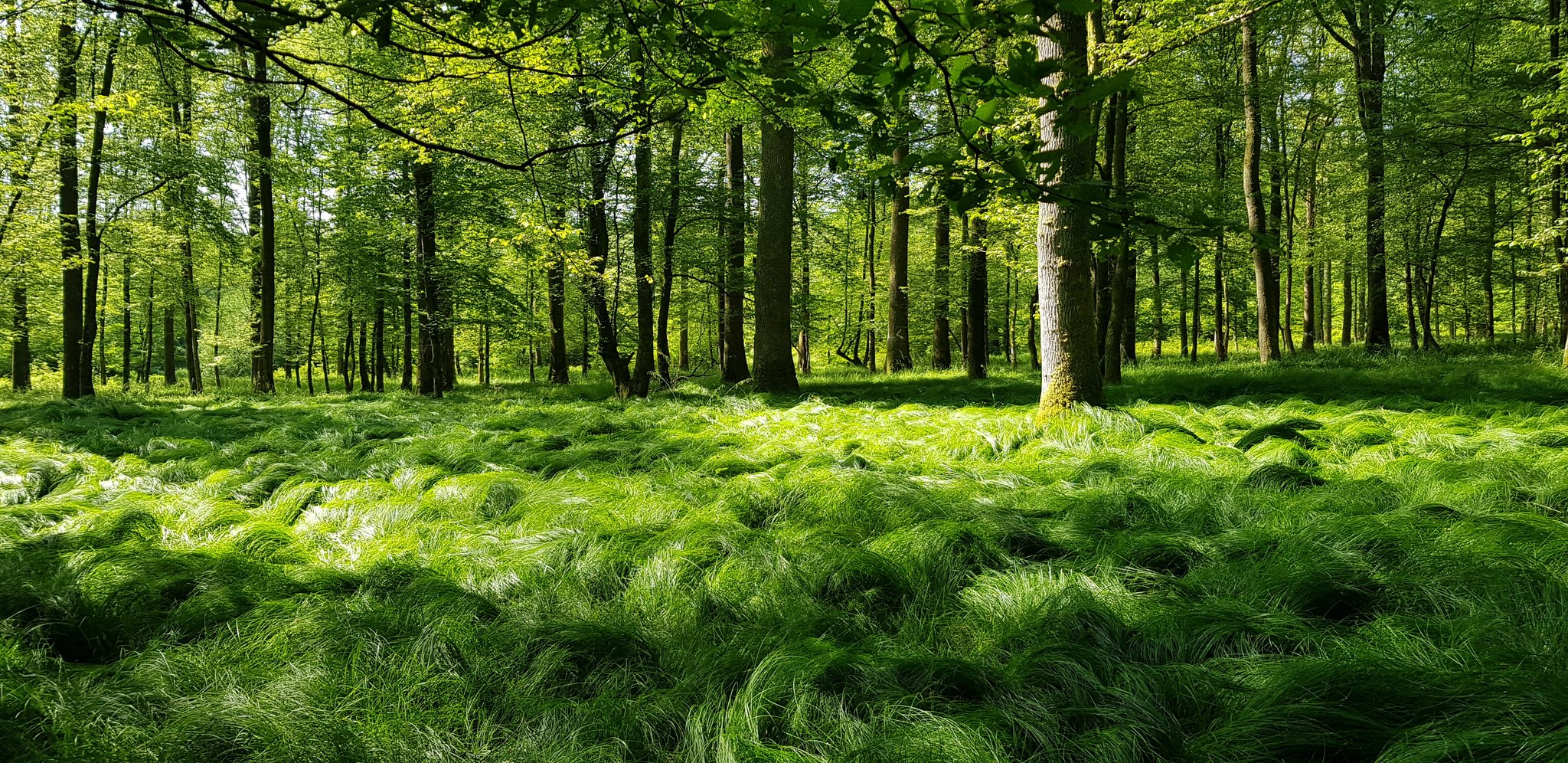
In a new review paper recently published in Journal of Ecology, we summarize the exciting potential of LiDAR for forest research. Indeed, when we can map a forest in 3D at the centimetre scale, we can find back structures that are impossible to see with the naked eye, and that hide former land uses, management practices or impacts of climate change.
An impressive example of this potential can be seen in the Compiègne forest, in northern France, where LiDAR data allows us to trace back hidden structures in the forest all the way to the Roman times, much and much further than historical maps can ever do.

While digging up such ghosts of the past is obviously extremely fascinating, it has also important consequences for ecology; the main point we want to hammer home in this new paper. Indeed, such past management practices and land-use changes have big impacts on current species distributions. Basically, they can explain why you found certain plants in certain – sometimes weird – spots. Some barley on the forest floor? Perhaps there has been a medieval farm there!
These confounding effects of past land use can obscure the impacts of ongoing global changes such as climate change or atmospheric pollution on species distributions. And that is exactly why it is so critical to know about them. For example, Roman agricultural practices can still result in elevated nutrient concentrations in a forest soil, with consequently a higher presence of nitrogen-loving species in the forest understory. Without the technology to look back that far into the past, the presence of these species might mistakenly be attributed to nitrogen-deposition from the air during the 1980s, overestimating the impact of the latter on forest diversity.
Given how forest cover is increasing in Western Europe (France has seen its forest cover double since the 18th century!) there is bound to be a lot of historical artefacts and past land use hidden underneath our forests. Knowing these patterns will be critical for smart management decisions. Now LiDAR is there to reveal them.

Reference:
Lenoir et al. (2022). Unveil the unseen: Using LiDAR to capture time-lag dynamics in the herbaceous layer of European temperate forests. https://doi.org/10.1111/1365-2745.13837


")


")
")


")


")


")


")


")


