
On October 4, 1957, the USSR put into orbit a tiny ball, carrying a radio transmitter, that listened to the name ‘Sputnik’. With that first launch of a satellite, a new era started. An era in which humans could finally admire the earthly magnificence from above, thanks to an increasingly growing number of these satellites orbiting the earth. Nowadays, the information we get from space is increasingly accurate, and the applications are endless.
One of these applications lies in the monitoring of biodiversity and its fate under global change, and that’s what I want to introduce to you today. In short: ecologists like me, we want to know where in the world species are, and why they are there. With that information, we want to predict where the species will be going to if the world changes (which it is rapidly doing nowadays). For this, the wealth of data from above our heads – not only from satellites, but also from airplanes or drones – can make a huge difference.
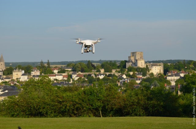
Where higher detail is needed than satellites can provide, drones can come in to save the day
How this so-called remotely sensed data can help our ecological models is now neatly documented in a new review in the journal ‘Remote sensing of the environment’. In this review, a group of scientists from both sides of the balance (ecologists and remote sensing specialists) take a look at the available remotely-sensed datasets for use in ecological models. We describe the rapid improvement in accuracy and temporal scope of said data, including those on climate variability, topography, land cover, and changes therein and help solve one of the biggest limitations we were having: we were modelling species’ distributions with very crude proxies of the environmental conditions they are living in, and as such could impossibly predict accurately how they would be changing. Remote sensing is there to fill exactly that gap.
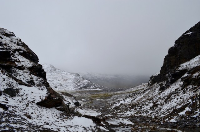
Remote sensing can provide high resolution maps of complex topography, like here in the Scandinavian mountains
Then, perhaps even more importantly, the review highlights how we can move things forward and improve the match between the world of remote sensing and the biodiversity community. We show for example how ecologists can benefit more from the high resolution data, both in space and time, coming up now. This data can provide information not only about the changes in the environmental factors driving species distributions, but also the distribution of those species themselves.
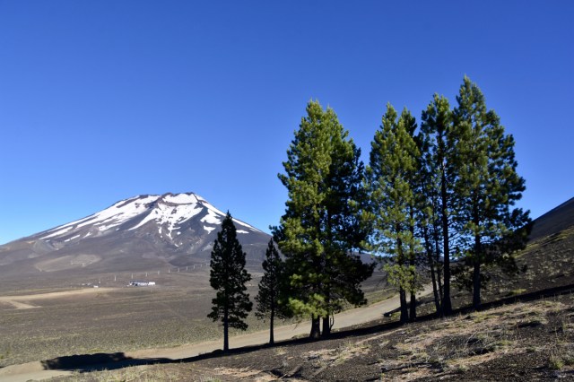
Satellite data can be used to track the spread of species, for example based on the difference in colour between them and the environment. Here: invasive pine species spreading uphill in the Andes
With this review, we bring those two – often separate – fields of scientists together, as we strongly believe that together, we can do wonders for our biodiversity. And that is needed, given the current state of crisis our biodiversity is in.
Reference


")


")
")


")


")


")


")


")


Pingback: The two sides of a coin: How do natural disturbances perturb forest ecosystems? – Rhizome Association